
Walk a Florence Street Record
A useful Florence street directory result is a chain, not one screen. Begin with the exact number, direction, street name, and suffix. Pinal County separates those parts in its address search. The parcel result supplies an assessor parcel number, often called an APN, along with the owner and legal-description route. That APN is the bridge to map, tax, and recorded-document sources. Keep the property location apart from the tax-mailing address. They may match, but the research does not support assuming that they always do.
- Enter the address in the Pinal County Assessor search and copy the APN, owner, property location, and legal description.
- Open the county GIS viewer, find the same parcel, and click nearby lots one at a time to continue by street.
- Check the Treasurer by APN or owner when tax-mailing evidence helps, while treating that mailing field as a contact route only.
- Carry the owner name or legal description into the Recorder index to locate deeds and the prior owner chain.
- Ask Florence for address-specific permits or code files, then use the 1960 reverse street section only when the question is historical.
Registered-voter information is not a public Florence block roster. Arizona limits voter-file uses under A.R.S. §16-168, and the personal portal requires identifying details. A street search should not try to turn that protected system into a general directory. For the modern street angle, parcels and recorded instruments are the sound starting points.
Search Florence Streets by Field
The free Pinal County Assessor Parcel Search offers several paths into the same Florence parcel system. Address mode is the natural by-street route. Owner, APN, subdivision, legal location, and plat modes help when an address was typed differently or when an old document lacks a current street number. Search fields should be used as filters, not claims about occupancy.
| Portal field | Input type | Florence search use |
|---|---|---|
| Owner name | Text, LAST FIRST NAME | Find parcels tied to a known owner |
| Street number, direction, name, suffix | Text and dropdowns | Build the physical-address query |
| Book, map, parcel, split | Text and dropdown | Use the APN components from another record |
| Subdivision name | Text | Narrow a Florence development |
| Section, township, range | Dropdowns | Search legal-location data |
| Cabinet, slide, lot | Text | Follow recorded plat references |
A county zoning report may show parcel size, Tax Area Code, owner, tax-bill mailing address, property location, zoning, and case data. No private parcel card was opened during research, so building sketches, exemptions, and sales fields are not claimed here. The address search stays within the verified field set.
Map the Florence Street Parcels
Once the first parcel is known, the Pinal County GIS resources provide the map route. Search or zoom to the Florence address, select its polygon, then inspect each neighboring polygon separately. County hubs also point to zoning, flood, comprehensive-plan, tax-delinquency, school, voter-district, and special-district maps. Those layers add civic and land context. Their drawn boundaries remain informational, not legal descriptions.
The official Pinal County GIS entry is visible in this Florence street-record capture.
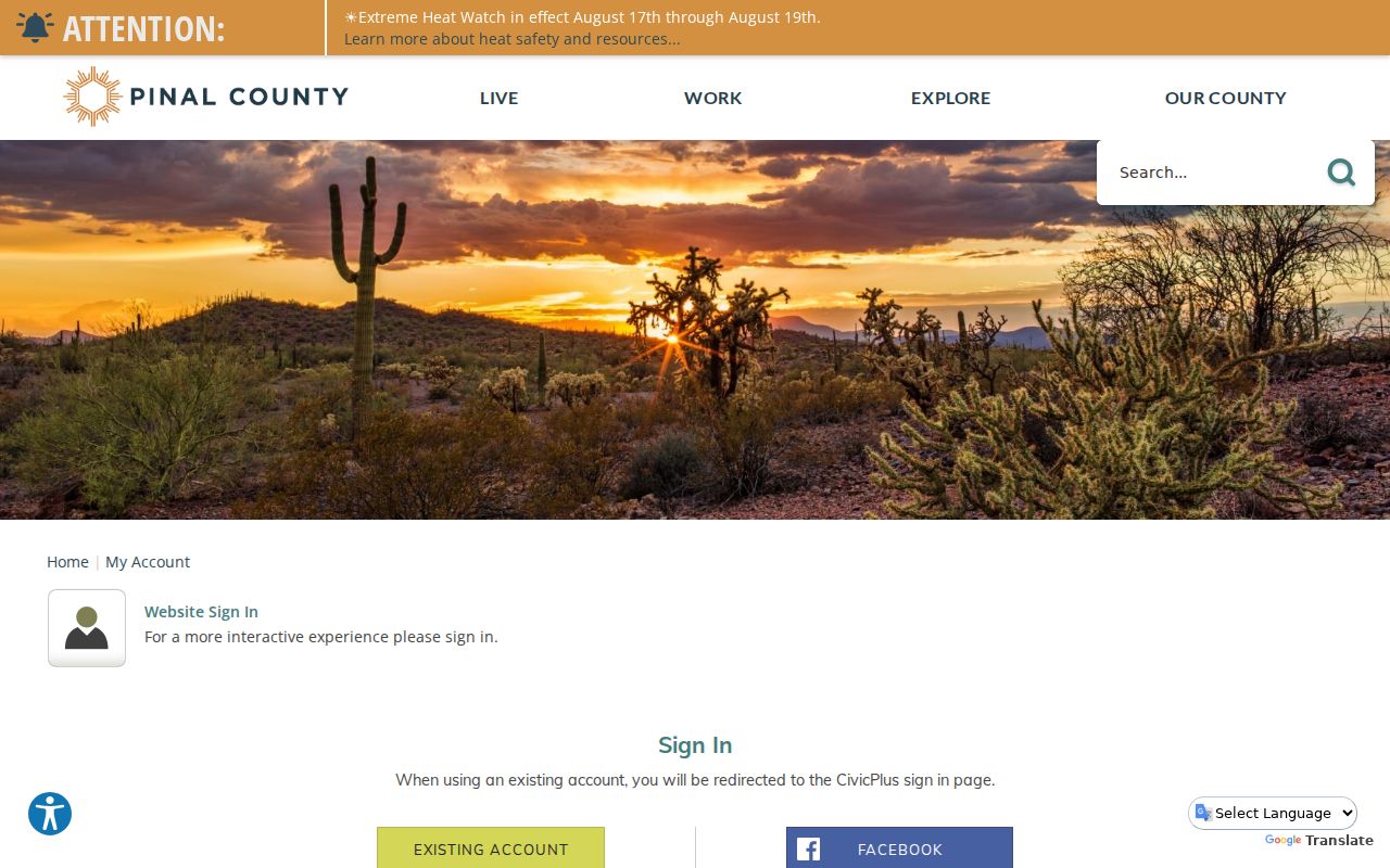
Use the county hub to reach the relevant viewer, then preserve the APN before moving to another record system.
The Pinal parcel viewer also supports the lot-by-lot visual pass used for a street search.
Each adjacent parcel needs its own check. The research did not verify a radius or buffer tool, so none is assumed.
Note: A GIS line helps orient the search, but the recorded plat and legal description control the property identity.
Florence Records Indexed by Address
No single Florence street directory contains every current resident. Each verified source answers a narrower question. The assessor and GIS establish the parcel and named owner. The Treasurer reports the tax account and owner mailing fields. The Recorder follows instruments by party or legal description. Florence files may name an applicant, contractor, owner, agent, or complainant, but none of those roles alone proves that person lived at the address.
| Address source | Official keeper | Verified evidence | Access route |
|---|---|---|---|
| Property roll | Pinal County Assessor | Owner, situs, mailing route, APN, legal and zoning data | Free web search or counter |
| Parcel map | Pinal County GIS | Parcel geometry, adjacency, map layers | Free interactive viewer |
| Tax inquiry | Pinal County Treasurer | APN, owner, tax-mailing city, state, ZIP | Nightly inquiry, search, and CSV |
| Recorded instruments | Pinal County Recorder | Parties, document type, date, fee number, legal description | Acclaim from May 23, 1980; counter earlier |
| Permits and code | Town of Florence | Address work, applicants, cases, releasable files | Portal, mapped service, or request |
The parcel number is the safest cross-system key. A street name can change format, and a tax address can be elsewhere. When the online screen lacks a needed public field, Arizona Public Records Law allows a focused request to the office that keeps the actual record.
Florence Mailing and Situs Split
A situs address is the physical location assigned to a parcel. A tax-mailing address is where the county sends the bill. The owner may receive mail at the parcel, a post-office box, another Arizona city, or another state. The Pinal Treasurer Parcel Search accepts partial owner name, tax year, address, city, ZIP, state or province, and country. Its results can be exported to CSV, but its address field is mailing data.
The Pinal Treasurer mailing search is shown in this Florence by-address source.
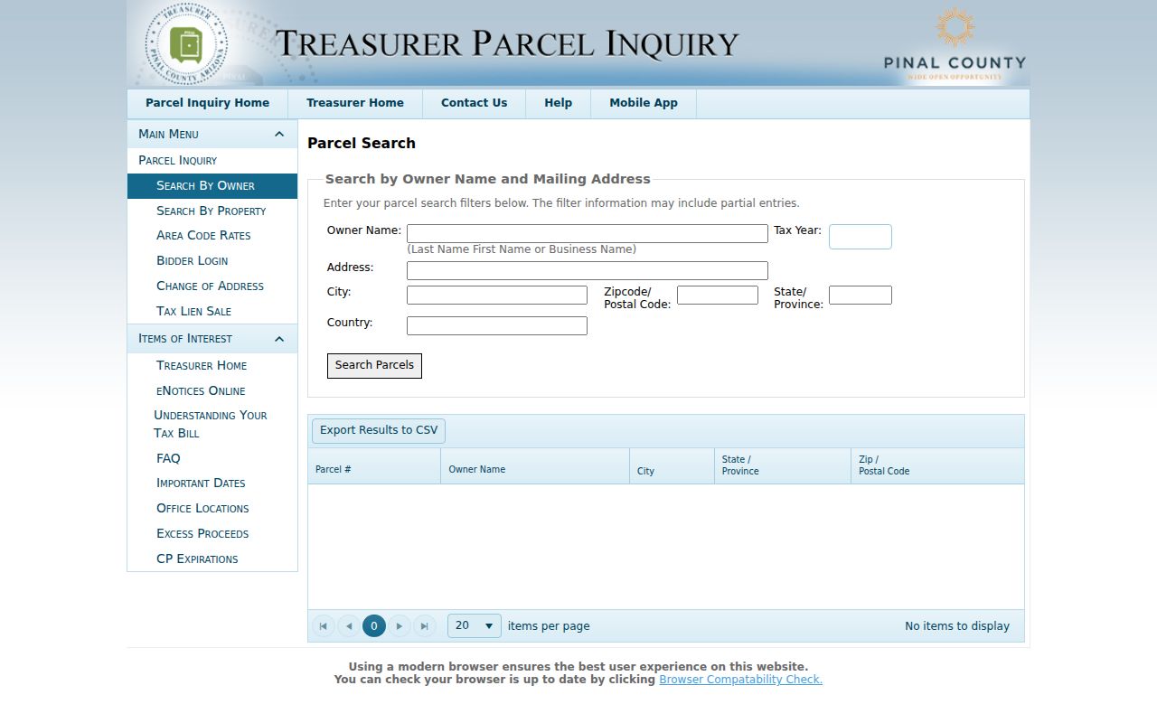
Return to the assessor property location or GIS parcel before treating a mailing match as part of the named Florence street.
- Parcel
- A mapped unit of land assigned an assessor number.
- Situs address
- The physical property location, distinct from the address used for tax mail.
- Plat
- A recorded map that identifies lots, blocks, streets, and related survey details.
- Criss-cross directory
- A directory arranged by street and house number rather than only by surname.
Carry Florence Streets into Deeds
The Recorder’s Acclaim index has no verified situs-address field. Bridge into it with the owner name, APN-linked legal description, or deed reference found in the property chain. The Pinal Recorded Document Search offers Name, Fee Number, Document Type, Record Date, Doc Legal, and Docket/Page modes. County guidance says to test spelling variants. Web coverage begins May 23, 1980.
For older Florence instruments, contact the Pinal County Recorder at 31 N. Pinal Street, Building E, by phone at 520-866-6830, or by mail at PO Box 848, Florence, AZ 85132. The office supplies the book and index fallback. Unofficial copies cost $1 per page, with $3 added per certified document. The free Recording Notification Service concerns new name indexing, not a resident roll.
Note: A deed identifies parties and land, while present occupancy still requires separate and lawful evidence.
Florence Street Permits and Cases
Town address files can date changes that do not appear in a deed. The Florence Directory of Documents inventories permits and licenses under A.R.S. §9-837. Items not online may be inspected through the Town Clerk. Residential permits route through the public SmartGov portal, while mapped code matters can begin with Florence Fix It and then move through Florence Police Records when a releasable file is needed.
The Town document list provides one verified Florence by-address entry point.
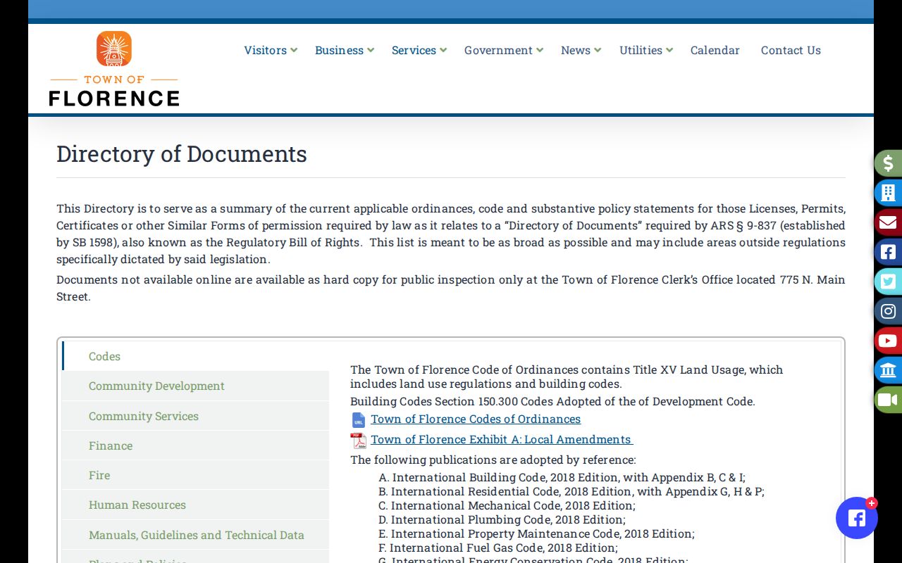
Ask for one address, parcel, permit number, and date range to reduce false matches and speed the custodian’s search.
The Florence public permitting portal is the current online route.
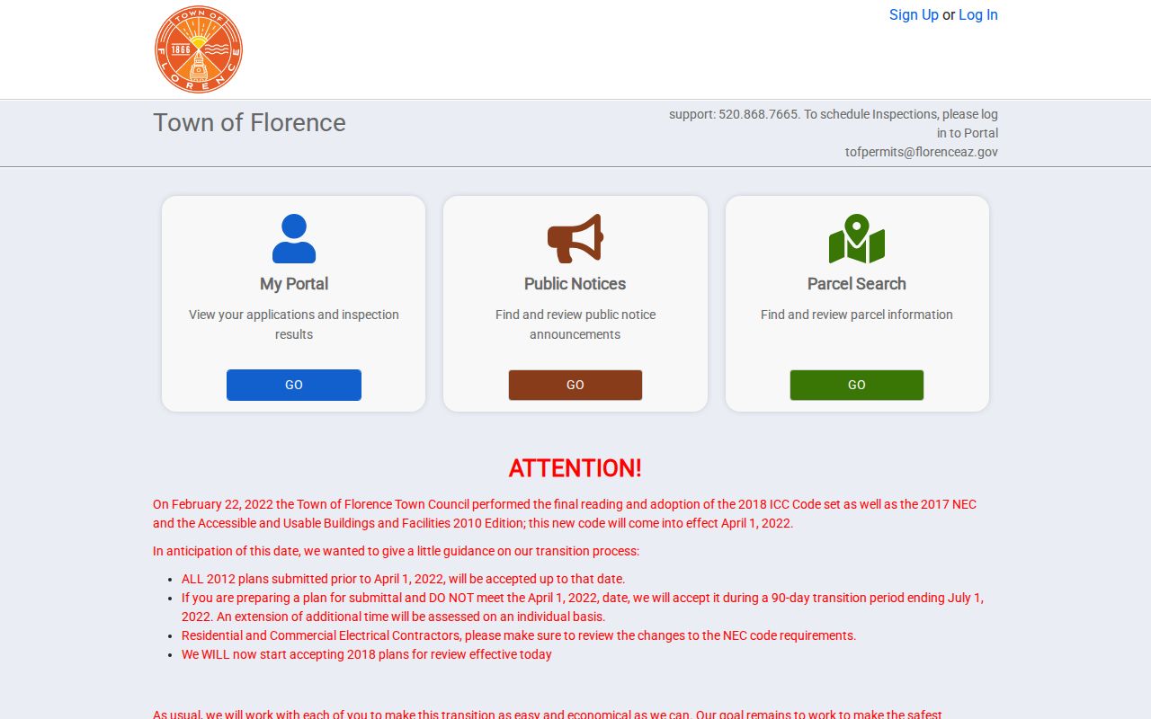
Interactive fields and coverage dates were not exposed in the research, so older or unindexed files should go to Community Development or the Town Clerk.
Test Florence Street Jurisdiction
A Florence mailing label does not prove Town jurisdiction. ZIP 85132 extends beyond the municipal boundary. Town ArcGIS materials separate addresses, street centerlines, Town limits, zoning, and parcel layers, and named maps cover Downtown, Anthem, and Florence Gardens. The rescinded Magic Ranch and Arizona Farms annexations show why a postal label and a government boundary can point to different answers.
Compare the county parcel with the Florence GIS map suite. Then use the correct custodian. A parcel inside Town limits may lead to Florence permits and code files. A Florence-postal parcel outside those limits may instead route to county planning or another authority. The legal description stays useful in both cases.
Town maps and county maps serve different roles. Florence layers can answer whether an address sits within Town limits, a named map area, or a local planning layer. Pinal GIS supplies the county parcel frame and broader district context. USPS supplies the postal label. None replaces the deed's legal description. Keeping those four views separate prevents a common error: sending a request to the office associated with the mailing city when another custodian actually controls the parcel record.
When jurisdiction remains uncertain, give the Town Clerk or county department the APN and exact property location. Ask which office holds the named permit, planning case, or code file. Arizona Public Records Law requires public records in an officer's custody to be open for inspection during office hours, subject to privacy rules and redaction, and calls for prompt access rather than one statewide fixed response deadline.
Read Florence Streets in 1960
The verified historical reverse source is the 1960 Mullin-Kille Casa Grande, Coolidge, Florence and area directory. Its householders section orders addresses along alphabetized streets, marks cross streets, and lists adult residents, owner status, and telephone details under the publisher’s symbols. That makes it a genuine by-street source for a past Florence address.
Use the old street section after the modern parcel chain is stable. Copy each household exactly, preserve symbols, and corroborate ownership through deeds. The full publication and symbol guide belong to the Florence city directory collection, while the street directory task uses only its reverse-address evidence. No other Florence reverse-directory run was verified online. Viney Jones Library and the Pinal County Historical Museum are the named reference fallbacks for undigitized material.
Viney Jones Library is at 778 N. Main Street and can be reached at 520-868-8311. Its published page does not inventory reverse directories, microfilm, yearbooks, or obituary indexes, so a reference question should name the address, approximate year, and record type. The Pinal County Historical Museum at 715 S. Main Street is a certified special-collections institution focused on Florence and the Gila River valley. It is a strong second stop when the online 1960 volume does not cover the needed era.
Limits of Florence Street Records
Property rolls name owners, not every person in a home. A renter, relative, guest, or other household member may leave no public address-keyed trail. Voter records cannot be repurposed as a public street list, and protected voters may be sealed under A.R.S. §16-153. Arizona’s Address Confidentiality Program can substitute an official address for qualifying participants. Public boundaries and mailing fields also carry their own limits.
The Florence street directory method is therefore strongest for parcel identity, ownership, deed history, tax context, and public permit activity. It is weaker for present household composition. If an index lacks a needed record, request the named file from the Assessor, Recorder, Treasurer, Town Clerk, or Community Development office instead of filling the gap with an inference.
Lawful use. Florence address records are for lawful personal, family, property, and civic research. Arizona law bars stalking, harassment, and harmful distribution of identifying or location information.